Argos News
Search filters
Biologistes of Southern latitudes in Toulouse for the Argos seminar
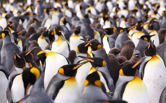
Copyright Thibault Powolny Based at the Centre d'Etudes Biologiques de Chizé, in the Deux-Sèvres region of eastern France, the real field of investigation of these biologists is thousands of...
The New ArgosWeb Interface is Here!
A new version of ArgosWeb is available as of September 26th with a lot of new features as well as your old favorites. To try it out, login! Features Responsive design (entirely compatible with smart...
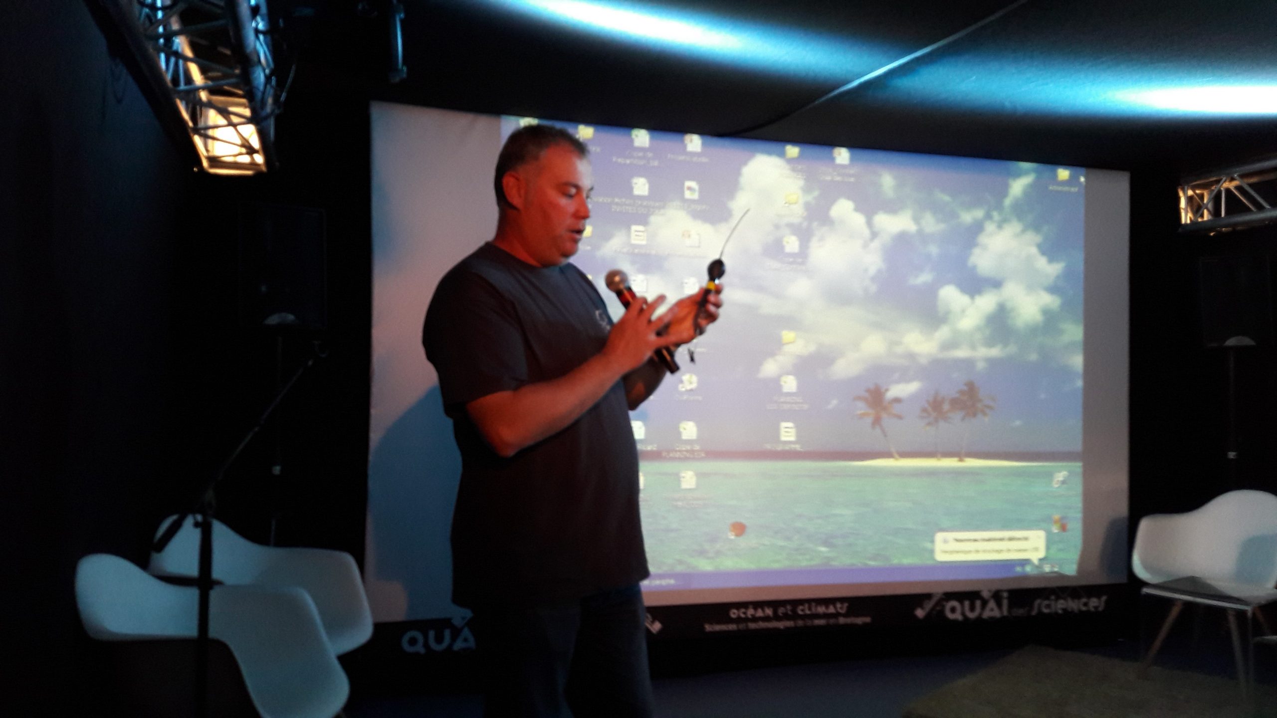
Eric Stéphan of APECS explains monitoring of basking sharks
APECS (Association for the study and conservation of selachians) is a Brittany-based organization with a scientific and educational mission. It acts in favor of the conservation of sharks, rays and...
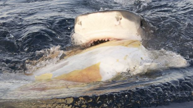
Tiger shark feeding follows by satellite tag
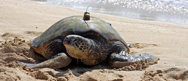
Researchers from James Cook University fitted more than 10 tiger sharks and 10 green sea turtles with satellite tags at Raine Island over a five year period to better understand tiger shark...
World Sea Turtle Day with Argos
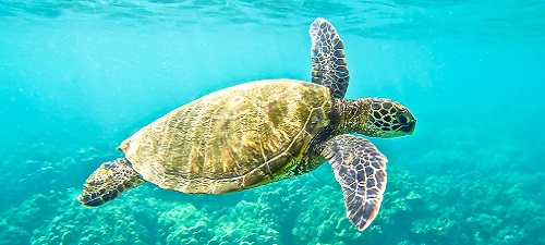
Like some other turtle species, Hawksbill sea turtle populations are in decline globally, due to illegal trading of turtle shells, hunting, bycatch in tuna fisheries, and habitat loss. Argos...
Beluga Whales followed by Argos satellite tags
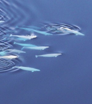
Beluga whales are very difficult to observe, which is why scientists from the University of Washington use Argos satellite tags to better understand their behavior and the environment in which they...
World Sea Turtle Day with Argos
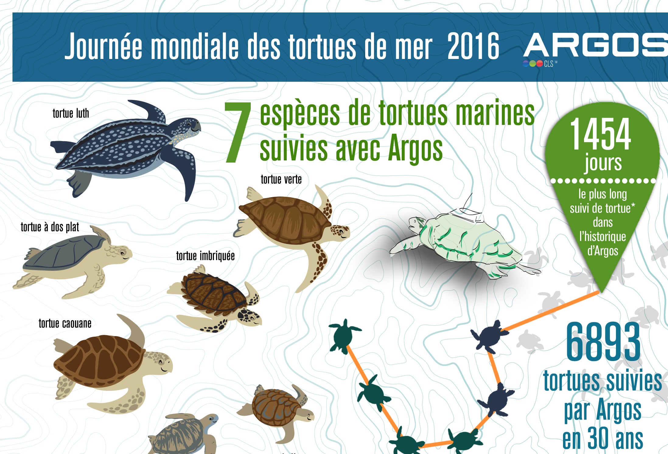
Over 6893 marine sea turtles have been tracked with Argos since the beginning of the Argos system over 30 years ago. Like some other turtle species, Hawksbill sea turtle populations are in decline...
EO4Wildlife
The EO4Wildlife project aims to provide an intelligent platform for biologists, ecologists and ornithologists around the world that fuses European Sentinel Copernicus Earth Observation data with...
EO4Wildlife
Big data platform integrating Copernicus and Argos data The EO4Wildlife project aims to provide an intelligent platform for biologists, ecologists and ornithologists around the world that fuses...
Argos Forum #82 | Wildlife Conservation in the Middle East
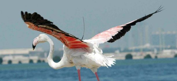
Using Argos to identify important sites for flamingos in a rapidly changing landscape, to track sooty falcons from Oman to Madagascar, Marine turtles conservation and monitoring in Ras Laffan City and Qatar, etc.
Workshop for French Argos wildlife users
Are you an Argos user or a future Argos user in France?
CLS will organize a one-day seminar for animal trackers in October in Toulouse.
Come share your experiences with Argos and be part of the French Argos community !
A successful 1st Argos Asian Bird Tracking Workshop
Tokyo, Japan. 57 people from 6 countries were present on March 9th for the first Asian bird tracking workshop.
Photo courtesy of Nigel Cantle.
Oceanology international 2016
CLS will be present at the largest ocean technology event of the year. We hope to see you there!
Follow HUNIDA, a whale Shark near Djibouti with MEGAPTERA association
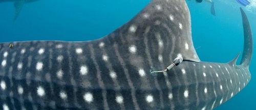
Sharky DJ project : the monitoring program of tracking HUNIDA, a whale shark near Djibouti, in West Africa.
Photo credit : MEGAPTERA
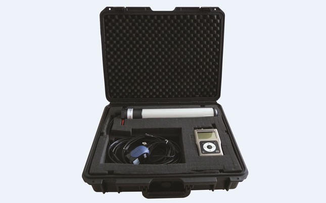
Goniometer RXG-134
The Argos signal can be received on the field from few meters to more than 100 km.
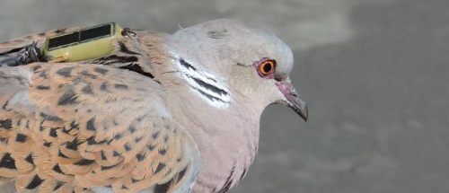
Turtle doves followed by the satellite tracking system Argos
New Argos tags of 2.5g with an accuracy of 250 meters.
Photo credit: Luc Tison
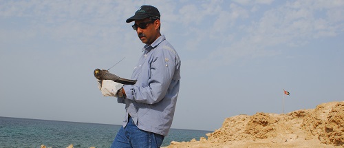
Satellite tracking migratory birds from the united arab emirates
Opportunities for species and site conservation | Dr. Salim Javed
1st Argos Asian Bird-tracking Workshop
Photo by Nigel Cantle.
As Argos users, manufacturers or potential users you’re welcome to attend this regional Argos workshop on bird tracking. The objectives of this Scientific and Technical meeting are:
- Provide a forum for bird trackers and Argos representative,
- Inform on Argos and future capabilities,
- Share experiences and knowledge with Argos for bird tracking,
- Communicate on new Argos services and bird transmitters available.
Long term ecological research : the case of loggerhead sea turtles
Argos tags is one way of tracking marine turtles and help researchers to protect them.
1st South American Wildlife Tracking Workshop
CLS will organize a Wildlife tracking seminar during the International Sea Turtle Symposium in Lima, Peru, on March 1st, 2016. Please join us!
Photo courtesy of Helen Bailey.
100, 000 animals tracked for 30 years by satellite
BIODIVERSITY… HIGH STAKES FOR HUMANITY
Sharpening climate change predictions for marine fishes
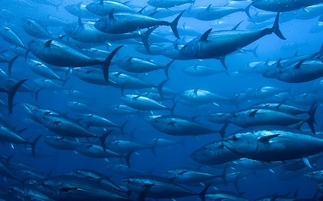
Tuna—fragile in a changing ocean
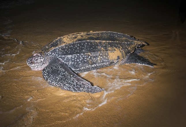
How leatherback turtles will react to climate change
A database of Argos tracking data makes it possible to model climate change scenarii on leatherback turtle habitats.
International Argo program: A revolution in climate research
The oceans play a central role in the earth’s climate. Yet continuous observations of the ocean are difficult to obtain, especially below the sea surface, which is why the international Argo program is so important to climate research.
Photo by Ifremer
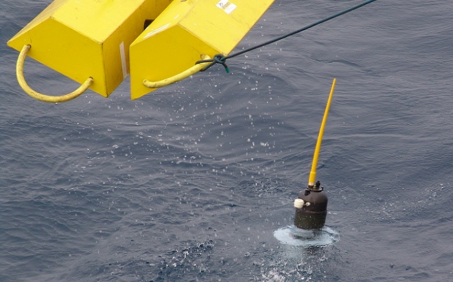
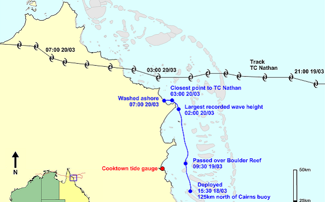
Monitoring cyclonic waves
Valuable wave height data collected during cyclones by Baby Ocean Buoys, or “BOB,” using the Argos system
© The State of Queensland 2015
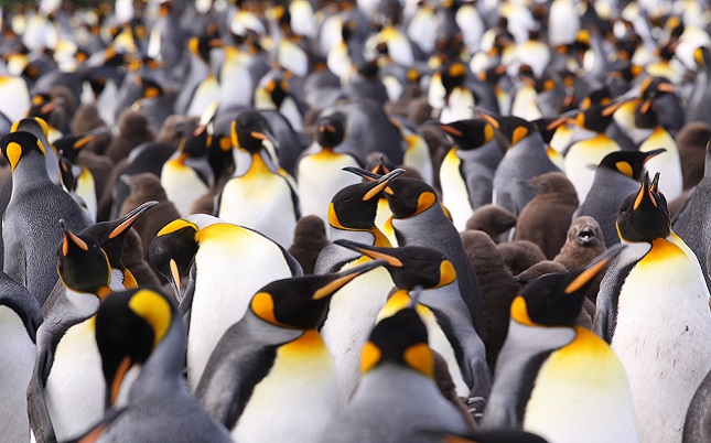
What future for Crozet island’s king penguins?
Characterizing and modeling the foraging habitat of king penguins
Photo by Thibault Powolny
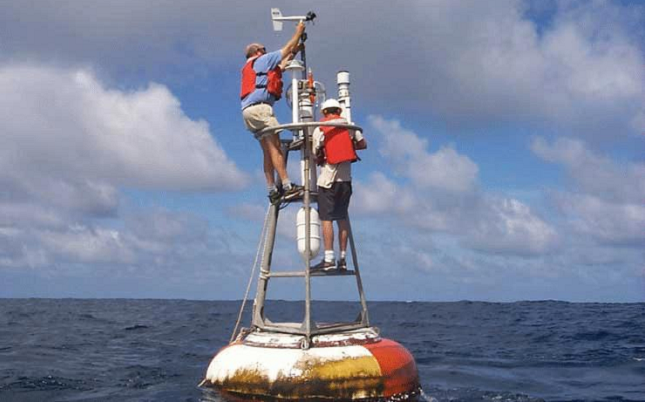
Argos: an enabling technology for climate research
Over 35 years of ocean data with Argos
Photo by NOAA
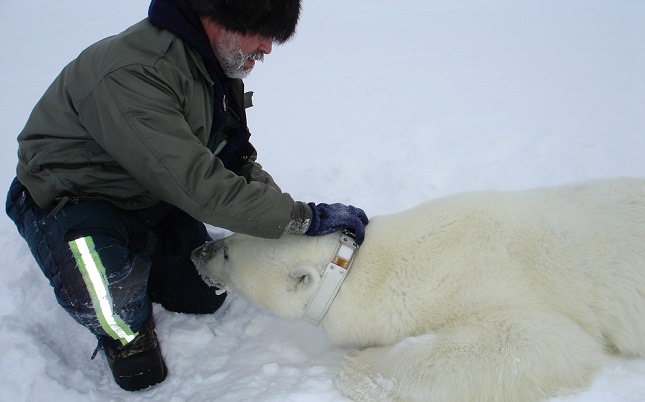
Polar bears and climate change
The USGS Alaska Science Center has used the Argos system to track and study polar bears for over 30 years.
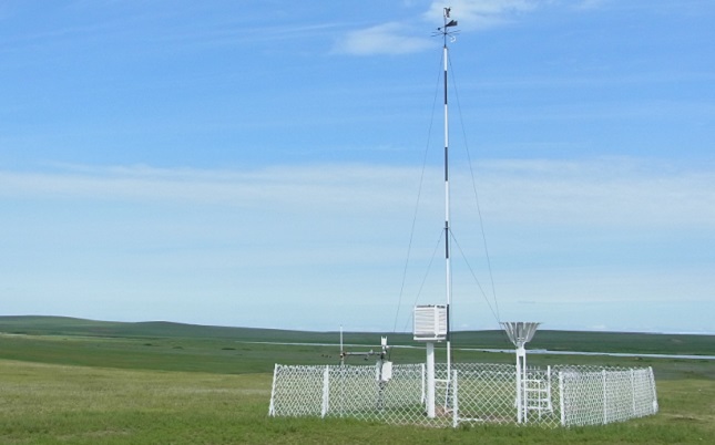
ARGOS-ACOS : a near real-time climate observation system for high latitudes
The Arctic is warming at a rate of almost twice the global average.
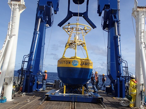
TRITON Moorings for the Tropical Ocean Climate Study
Identifying El Niño events & building the TAO/TRITON array
Photo by JAMSTEC

