← Back
Wildlife Doesn’t Recognize Borders, Neither can Conservation
How satellite tracking is helping researchers understand wildlife movements and support conservation across the globe.
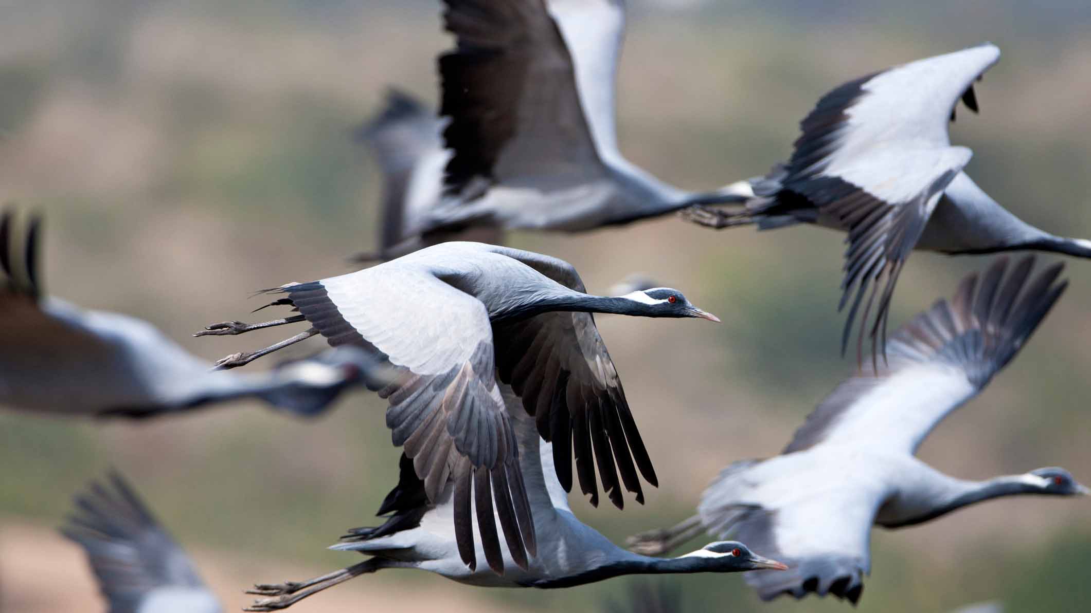
Every year, millions of animals cross borders, oceans and continents in search of food, breeding grounds and suitable habitats. From migratory birds travelling between hemispheres to marine turtles navigating vast ocean basins, wildlife movements connect ecosystems across the planet.
Understanding these journeys is essential to protecting the species that undertake them. Yet conservation efforts are often organised within national boundaries, while the animals themselves depend on habitats extending across multiple countries and regions.
For nearly 40 years, Argos services have helped researchers overcome these geographical challenges, providing valuable insights into wildlife movements, migration routes and habitat use, even in the most remote environments.
As biodiversity faces increasing pressures from climate change, habitat loss and human activities, satellite tracking continues to play a crucial role in supporting international conservation efforts.
Why wildlife conservation requires international cooperation
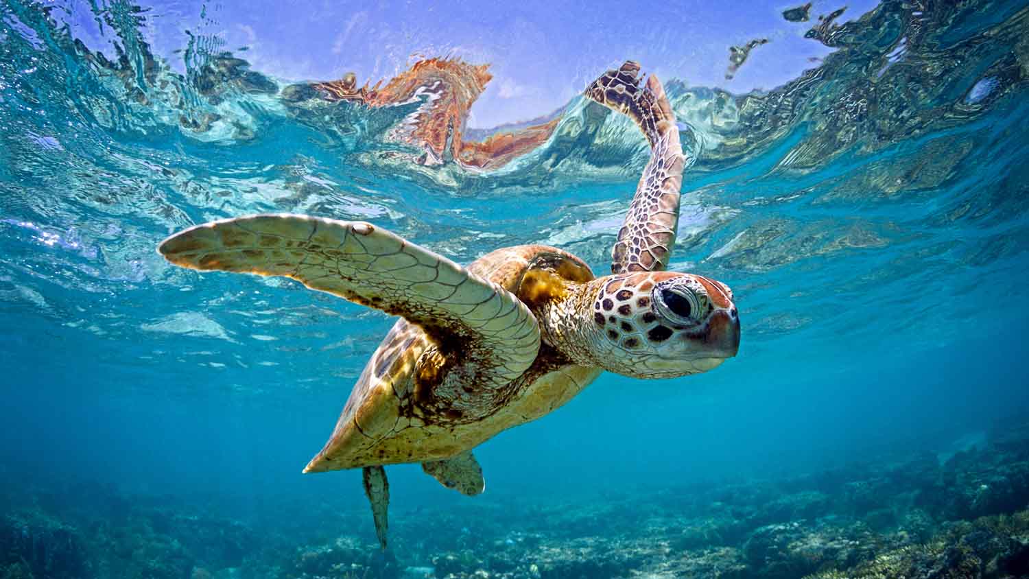
A migratory bird may breed in northern Europe, stop along the Mediterranean coast and spend the winter in sub-Saharan Africa. A marine turtle may travel thousands of kilometres between feeding and nesting grounds, crossing several national jurisdictions along the way.
Protecting these species in just one location is rarely sufficient.
Their survival depends on the conditions they encounter throughout their journeys, including the availability of food, the quality of their habitats and the threats they face along migration corridors.
International conservation initiatives, such as the Convention on the Conservation of Migratory Species of Wild Animals (CMS), recognise the importance of cooperation between countries to protect migratory species and their habitats.
Organisations such as BirdLife International also work across borders to identify and protect important areas for biodiversity.
However, effective conservation requires reliable scientific information.
Where do animals travel? Which areas are essential for feeding, breeding or resting? How are migration patterns changing in response to environmental pressures?
Answering these questions requires observations that extend beyond geographical boundaries.
Satellite tracking: understanding wildlife movements across ecosystems
Satellite telemetry has transformed wildlife research by allowing scientists to follow animal movements over vast distances, including regions where traditional monitoring methods are difficult or impossible to deploy.
Through tracking devices fitted to animals, researchers can collect location data and build a more complete understanding of how species move and interact with their environments.
These observations help scientists:
- Identify migration routes and critical habitats, including breeding grounds, feeding areas and stopover sites.
- Understand animal behaviour and seasonal movements, revealing how species use different environments throughout the year.
- Investigate environmental pressures, including habitat degradation, changing climatic conditions and interactions with human activities.
- Inform conservation planning, contributing scientific evidence to protected area management and biodiversity strategies.
- Support international collaboration, allowing researchers to study species whose movements extend across multiple countries.
For migratory species, long-term tracking is particularly valuable. Observations collected over several years can reveal recurring movement patterns, changes in migration timing and shifts in habitat use.
By connecting observations across different regions, satellite tracking helps researchers understand not only where animals travel, but also the ecological relationships that shape their journeys.
Nearly 40 years of Argos supporting wildlife research
Since 1986, Argos has supported wildlife research and conservation programmes worldwide, helping scientists monitor animals in some of the planet’s most challenging environments.
From seabirds crossing entire oceans to marine mammals navigating polar waters, Argos tracking data has contributed to scientific understanding about animal movements and behaviour.
One of the key advantages of Argos is its ability to provide satellite connectivity in remote areas, without relying on terrestrial communication networks.
This has enabled researchers to study species in environments where continuous field observations are often impractical, including open oceans, polar regions, deserts and isolated habitats.
Over the decades, Argos data has supported research into migration routes, habitat use, animal behaviour and the relationships between wildlife and environmental conditions.
These long-term observations are particularly important as researchers seek to understand how species respond to changing ecosystems.
Today, the need for reliable wildlife monitoring data is greater than ever, and satellite telemetry remains an essential part of the scientific tools available to conservationists.
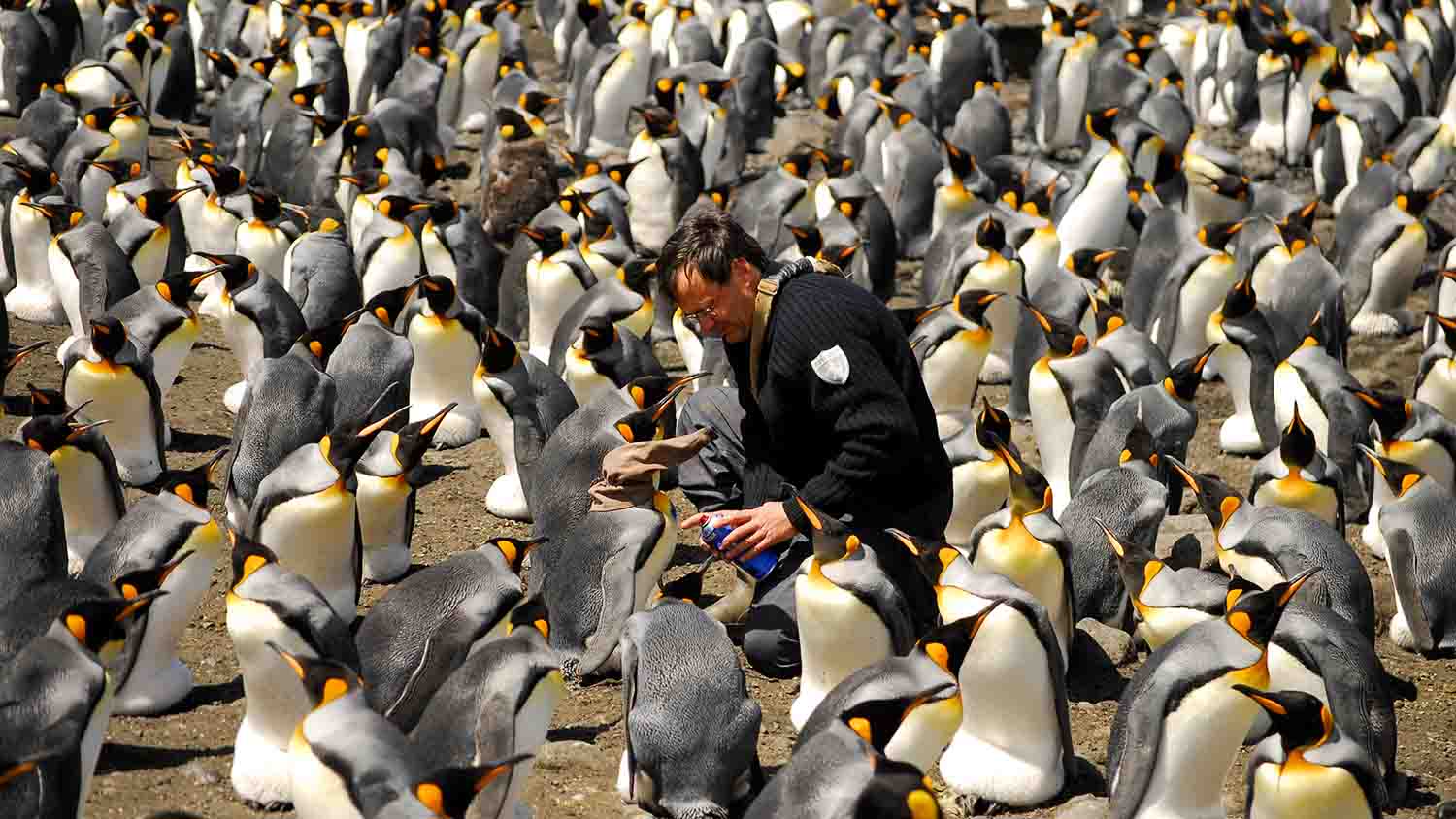
Advancing satellite wildlife tracking
Advances in satellite technology are creating new opportunities for wildlife research.
With the deployment of the Kinéis constellation of 25 nanosatellites, Argos users can benefit from a new generation of satellite connectivity, offering more frequent opportunities for data transmission and improved access to tracking information.
These developments are particularly valuable for researchers monitoring highly mobile species or studying animal movements in remote environments.
At the same time, advances in Earth Observation are opening new possibilities for interpreting wildlife tracking data.
Knowing where an animal travels is only part of the picture.
Understanding the environmental conditions surrounding its movements can provide additional insights into habitat selection, migration behaviour and responses to environmental change.
By bringing together satellite tracking and environmental observations, researchers can explore how wildlife movements relate to factors such as vegetation, water availability and landscape characteristics.
This combination of information offers new opportunities to better understand the connections between animals and the ecosystems they depend on.
Protecting wildlife beyond borders
The movements of migratory species are a reminder that nature is interconnected. Protecting wildlife requires cooperation across countries, scientific disciplines and conservation organisations.
Satellite tracking plays an important role in this collective effort, providing the observations needed to better understand animal movements and support informed conservation decisions.
For nearly four decades, Argos has helped researchers reveal animal movements that would otherwise be difficult to observe.
Today, with new satellite capabilities and an evolving platform, Argos continues to support the scientific community in understanding wildlife movements and the environments that shape them.
Because wildlife doesn’t recognise borders. And effective conservation cannot stop at them either.
Discover the new Argos platform and explore how satellite tracking and environmental data can support your wildlife research.