
← Back
Connecting Herds Beyond Cellular Networks with Argos Services
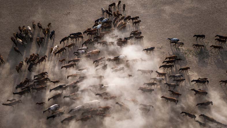
How can farmers and herders keep track of their animals when there is no cellular network?
This is a common challenge in remote areas. Animals can move across very large territories, often far from farms, roads and communication networks. Finding them can take time and require long journeys.
For nearly 40 years, Argos Services has connected equipment and collected data from some of the most remote places on Earth.
Today, this experience is opening new possibilities for livestock management.
By combining satellite connectivity, connected collars and dedicated digital tools, Argos Services, powered by CLS, helps herders and farmers locate their animals, follow their movements and receive useful alerts.

We spoke with Laurent Bacque, Herd Management Expert at CLS, about the challenges faced by livestock managers and how satellite technology can help.
Laurent, what are some of the main challenges facing herders in remote areas?
One of the main challenges is knowing where the animals are.
In many regions, livestock can move across very large areas. Farmers and herders may need to travel long distances to find their animals. This takes time and can be difficult, and sometimes dangerous, especially in remote areas.
Connectivity is also a challenge. Many tracking solutions use cellular networks. But in rural and remote areas, these networks may be limited or unavailable.
This is where satellite technology can make a difference. It allows herders to stay connected with their animals even when they move outside cellular network coverage.
So, how does the Argos Herd Management Solution respond to this challenge?
The idea is simple: give farmers and herders better visibility of their animals, wherever they are.
The animal wears our CollarSAT (LIEN VERS PAGE COLLIER), a satellite GPS collar, which records its position. This information is made available through a dedicated web portal and mobile application.
Users can see their animals on a map and follow their movements remotely. They can also create specific geographical areas, known as geofences, and receive an alert when an animal enters or leaves one of these areas.
This combination is important. Satellite connectivity allows us to receive information from areas without cellular coverage. The web portal and mobile application then turn this data into information that farmers and herders can easily use.
The objective is not simply to know where an animal is. It is to provide useful information that can support everyday herd management.
Are all herders needs the same around the world?
Every country is different, but we often see the same basic challenge: animals are moving across large areas where cellular connectivity is limited.
The Argos Herd Management solution is being used in Mongolia, Southern Africa and the Middle East with different animals and different needs.
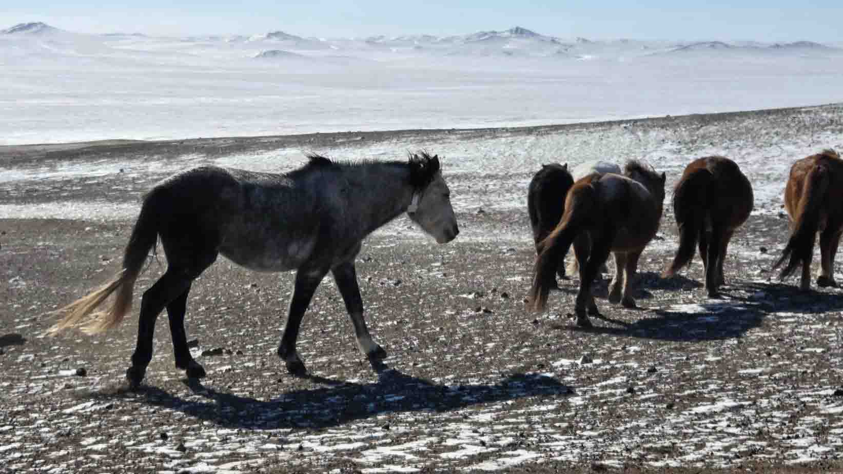
In Mongolia, for example, horses can move across very large and remote territories. Satellite tracking can help herders locate their animals without having to search across these areas saving valuable time, fuel costs, and, in many cases, giving them enough time to save their livestock from deadly climate events called ‘dzud’.
In Southern Africa, different types of livestock in large rural areas have been using the Argos Herd Management Solution, including places where livestock and wildlife can use the same territories and lead to human-wildlife conflict.
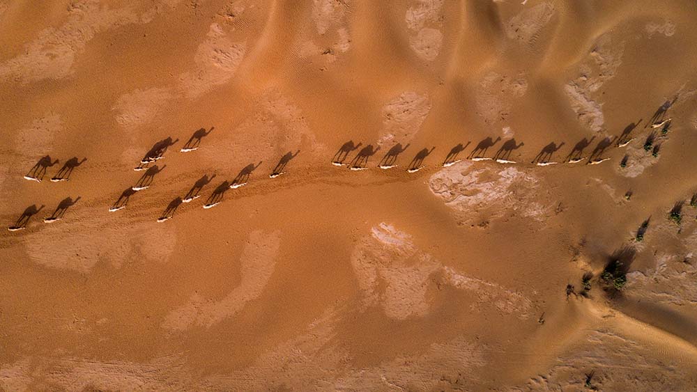
In Oman, it is being used to track camels. Location information and alerts can help identify when animals approach specific areas, such as roads and prevent road accidents for example.
The animals, environments and needs are different. But they have one thing in common: the need to stay connected with livestock beyond cellular networks.
Is knowing where the animals are enough?
Location is the starting point, but the real value comes from what you can do with that information. For example, a farmer can create an area on the platform and receive an alert when an animal enters or leaves it. This means there is no need to constantly check the position of every animal.
As we continue to develop the solution, we are looking at how we can make the information even more useful for everyday herd management.
The aim is to move from simply showing a position on a map to helping herders and farmers quickly understand when something may need their attention.
What have you learned from working with herders in the field?
The technology must be practical. The collar needs to be robust because animals may spend long periods outdoors in difficult conditions. Battery life is also important, especially when animals are in remote areas.
But technology is only one part of the solution. The information also needs to be easy to access and understand.
This becomes particularly important when managing large herds. Following ten animals is very different from following hundreds or thousands. Users need to be able to quickly find the information that matters to them.
What is next for satellite herd management?
Satellite IoT is creating new possibilities for livestock management, especially in remote areas.
Every project is different. Working in these different environments helps us understand what users really need and where technology can bring the most value.
There is still a lot of potential to explore. As we collect more information, we can continue developing tools that make herd management simpler and give farmers and herders the information they need at the right time.
Are you looking for a solution to manage livestock? Contact our experts for a demonstration.