Oceanography & Climatology Programs
The key international oceanography programs use Argos to transmit data via satellite from ocean buoys to information networks shared by professionals around the word. Some of the major programs include Data Buoy Cooperation Panel (DBCP) and Argo.
Argo: Global Ocean Observing Program
The Argo program comprises a network of oceanography floats belonging to 25 countries. The program’s ultimate objective is to release 3,000 floats covering ice-free areas to study...
TAO: Tropical Atmospheric Ocean Project
This long-term oceanography projects measures telemetering oceanographic and meteorological data in the Tropical Pacific Ocean region and sends them to shore in real-time via...
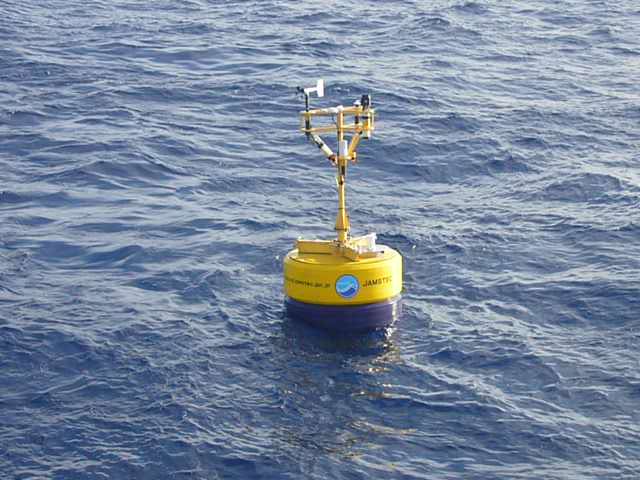
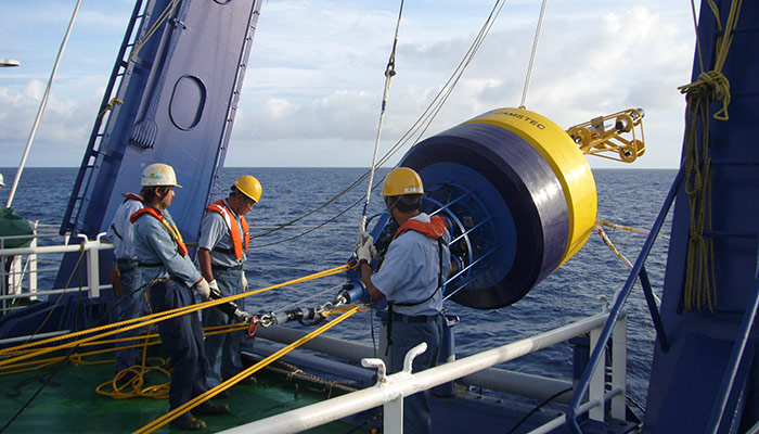
Triton: Moored Buoy Network
The Triton array of buoys or the Triangle Trans-Ocean buoy network, is a series of buoys for measuring surface meteorology and upper ocean. The buoys are deployed by JAMSTEC (Japan...
Global Drifter Program
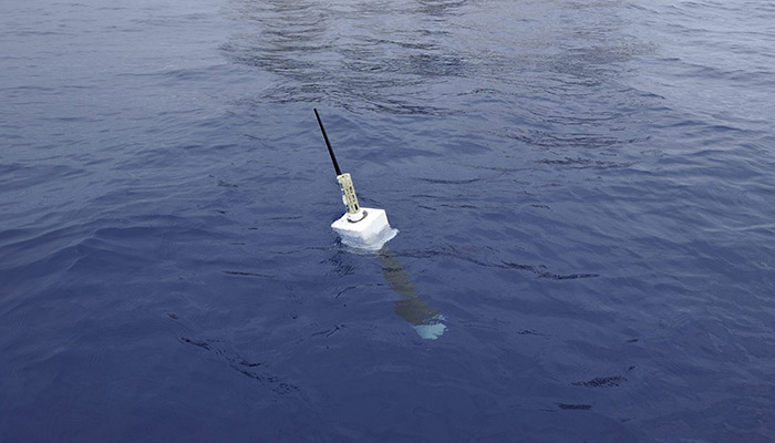
The goal of the Global Drifting Buoy Programme is to produce new seasonal surface circulation maps of the world's oceans. The data collected via Argos images provide key...
MARLISAT
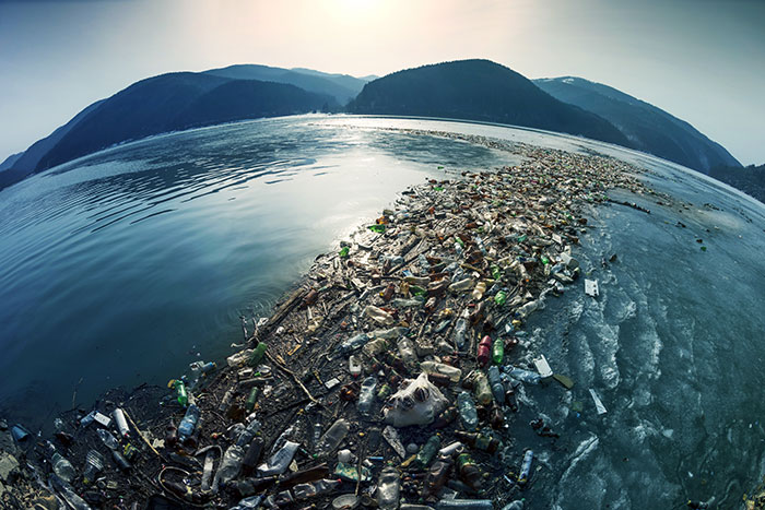
ESA & CLS: Using Space to Address Ocean Marine Litter Around 250kg of plastic leak into the ocean each second. Monitoring marine plastic from the Earth’s surface is not easy...