← Back
Kids on Argos tracks
")
Among Argos satellite telemetry users, we have kids and teachers, thanks to the Argonautica STEM educational project from the French Space Agency, Cnes. Representatives met last week to present the work done using the Argos and “Metoc” data in the Annual Argonautica Conference held in Montpellier.
Argos has one thing in common with a well-known Belgian comic book reporter: it appeals to people from age 7 to 77 (and even younger & older, in fact)!
Teaching scientific approach
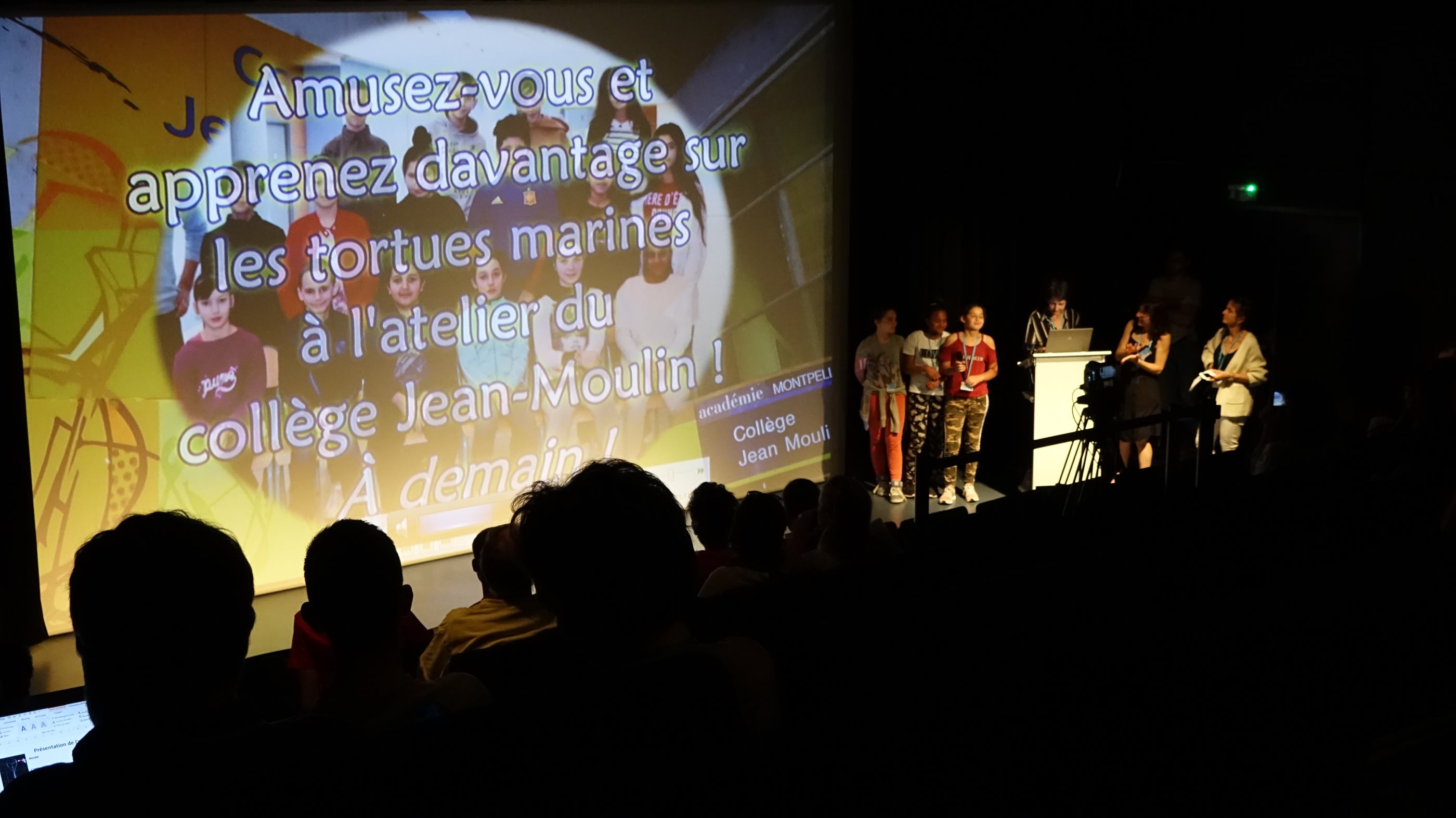
One of the presentation during Argonautica annual meeting 2019 (photo A. Willm for Cnes)
Since Fall 2000, the French Space Agency, Cnes, has proposed to teachers and their classes, mostly at primary and secondary school levels (but not only), to monitor marine animals and buoys using Argos location system. This STEM educational project is called “Argonautica”, joining both Argos and Jason (and his Argonauts) in its name. It aims to help pupils understand the ocean, its relation to environmental change and the effects on the living world. It also shows them what roles satellites can have in monitoring and understanding these resources. Students and teachers can thus undertake a real scientific investigation with hypothesis, ways to check on them, and analysis of results, with help from scientific partners. It has three different sub-projects, with joint resources for the first two.
Three different sub-projects
With “ArgOcean”, students can compare the buoys’ tracks with ocean data – from satellites such as the Jason altimeters and others, or from an ocean circulation model. Moreover, classes can build their own buoy, from designing the shell to integrating the electronics or even designing new instruments to measure storms or plastic in the ocean.
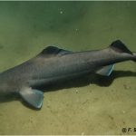
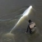
ArgoNimaux is the most popular for the youngest, who can choose to track a marine animal week by week, in collaboration with researchers, and also compare their tracks with ocean data. They can see the impact of the ocean variations on marine animals, and learn more about the animals’ behaviour, their migrations, foraging trips, etc.
And with the newest branch, ArgoHydro, students can measure in situ data (precipitation, soil moisture, lake and river levels) and correlate them with satellite data (Precipitation, Soil Moisture, water level,…). There also they can design their own buoy, or instrument(s) onboard UAVs, with the added value that they can do the measurements close to their school. ArgoHydro is designed to complement the international Global Learning and Observation to Benefit the Environment (GLOBE) Program. This activity is also held in the frame of the Surface Water and Ocean Topography (Swot) satellite, developed by Nasa and Cnes.
Material is available in French, but also in English for the main information on the project and on the data.
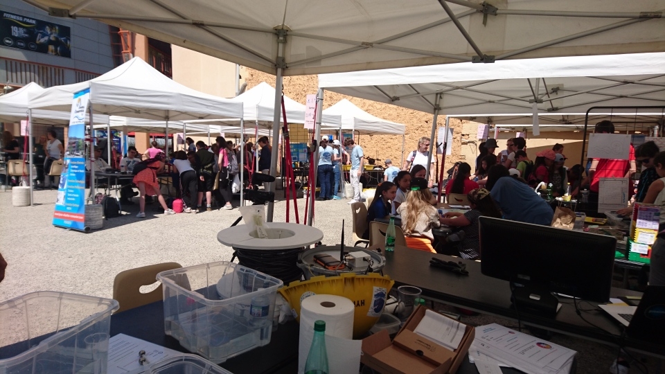
Argonautica 2019 booth village (photo N. Briand for Cnes)
Annual meeting
Every year, at the end of the school year, representatives of classes meet to show the others what they did with the provided material. They have freedom in the format, so creativity is at its fullest: theater plays, slams, video reports, stop-motion movies, fiction movies, drawing, boardgames, scientific posters, … This year, this conference was held at Montpellier aquarium. More than one hundred persons attended the presentations, with in addition booths just outside the aquarium with local classes visiting and each representant team animating their booth.
Links
Photo: Argonautica annual meeting 2019 group (photo A. Willm for Cnes)