Oceanography, Meteorology, Hydrology, Glaciology
90+
in-house oceanographers
3
redundant data centers
Expert
support
Global
& real-time solutions
Dedicated Services for Observing and Protecting the Earth Environment
Marine & environmental scientists rely more than ever on satellite systems to collect in-situ data to increase knowledge and protection of the ocean and ocean-atmosphere exchanges.
Available Argos modems connect new technology quickly and easily and offer data services for a broad spectrum of applications.
Oceanography
Meteorology
Hydrology
Glaciology


Latest News
A New Era of Argos Smart Environmental Solutions
Back in 2018, Kinéis, the brainchild of CNES and CLS, was created with one objective: revolutionizing the first space IoT dedicated to the environment. Now, the adventure has come full orbit thanks...
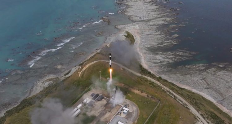
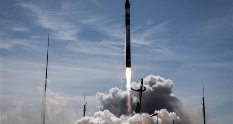
Argos Services Enhanced with 4th Successful Launch of 5 Nanosats
We are excited to share that our Space IoT partner Kinéis and their launcher Rocket Lab have successfully launched another 5 nanosats for the fourth time. The addition of these state-of-the-art...
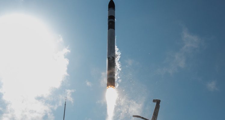
A Third Milestone for Argos Services: Successful Launch of 5 More IoT Nanosats
Congratulations to our Space IoT partner Kinéis and their launcher Rocket Lab on the third successful launch of 5 more nanosatellites. With these additional satellites now in orbit, the...

Begin with Argos
CLS teams experts in environmental monitoring from space are at your disposal to connect any of your projects.