How does Argos work?

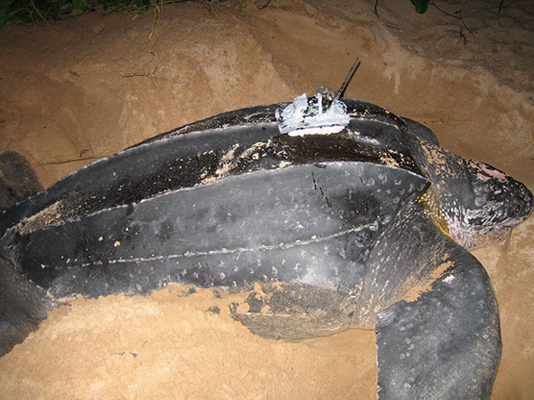
Transmitters
Any equipment integrating an Argos-certified transmitter is referred to as a ‘platform’. Argos transmitters send short duration messages (of less than one second) to Argos instruments on satellites that pass overhead at an altitude between 650 to 850 km.
Each platform is characterized by an identification number specific to its transmitter. A platform transmits periodic messages characterized by the following parameters:
- Transmission Frequency (401.650 MHz ± 30 kHz), which must be stable as the location is computed on the basis of Doppler effect measurements.
- The Platform Identification Number, and modulation used.
- The Power output level and Antenna performance which both impact the reception rate onboard satellite.
- The Repetition period, which is the interval of time between 2 consecutive message dispatches, varying between 90 and 600 seconds according to the extent to which the platform is used.

Satellites
Argos relies on a constellation of polar Low-Earth Orbit (LEO) satellites, which means they provide true global coverage.
Satellites are flying between 650 to 850 km above the earth. They receive signals from Transmitters , store them on-board and relay them in near real-time back to earth through Ground Stations linked to the MissionCenter.
The satellites see the North and South Poles on each orbital revolution. Each orbital revolution transects the equatorial plane at fixed local solar times. Therefore, each satellite passes within visibility of any given transmitter at almost the same local time several times each day. The time taken to complete a revolution around the Earth is approximately 100 minutes.
At any given time, each satellite simultaneously “sees” all transmitters within an approximate 5,000 kilometer diameter “footprint”, or visibility circle. As the satellite proceeds.
Due to the Earth’s rotation, the swath shifts 25° west (2,800 km at the Equator) around the polar axis at each revolution. This results in overlap between successive swaths. Since overlap increases with latitude, the number of daily passes over a transmitter also increases with latitude closer to poles.
The period during which the satellite can receive messages from a platform is equivalent to the time during which the platform is within its visibility. On average this is 10 minutes satellite pass.
Upon reception of several messages along a satellite pass , it is possible to process a Doppler Location of the transmitter and distribute to the user.


Argos with Kinéis constellation
In 2023-24, a new fully compatible constellation of 25 dedicated nanosatellites will be launched by Kinéis to offer enhanced coverage performances and achieve a near real-time connectivity.
25
nanosatellites
15min
revisit time everywhere
2
way communication on all Kinéis nanosatellites

Ground Stations
Once a transmitter messsage has been received onboard a Satellites, it's retransmitted directly to a Ground Station if in contact with the satellite.
If no Ground Station is available at that time, the message is stored until the Satellite flies above a compatible ground station.
A ground station is a ground infrastructure, mainly composed of one or several radio-communication antennas, controlled by an IT bay and connected to the Internet.
The ground station is able to track and to communicate with the satellites when they pass above. A network of ground stations is thus deployed to retrieve all the data collected by the satellites and to forward it to the Mission center.

Processing Center & Data Access
All the data acquired on each ground station is transfered:
- To the main Processing Center in CLS Premises near Toulouse in France.
- To the Backup processing Center in Woods Hole Group (a CLS Group subsidiary in USA).
Each transmitter data is stored, decoded, post processed following the user needs. For example, GPS information or any kind of sensor can be decoded upon reception.
Alerting, data distribution or other value added services can be implemented such as building Standard WMO BUFR packets to feed National Weather Serivces and the Global Telecommunication Service (GTS).
Begin with Argos
CLS teams experts in environmental monitoring from space are at your disposal to connect any of your projects.