Argosweb Metoc

Visualize one year of Argos tracks with contextual environmental data

Introducing new Argos Web oceanographic & meteorological parameters mapping together with Argos tracks


  • Make a link with your animal’s behavior and its physical & biochemical environment
  • Benefit from CLS’ 20 years of experience in satellite oceanographic data processing
  • Be connected to the highest quality ocean & atmospheric models data servers in the world 

What users say about METOC data


40 days Polar Bear with Ice Cover.
Courtesy of A.N. Severtsov Institute of Ecology and Evolution and Russian Arctic National Park

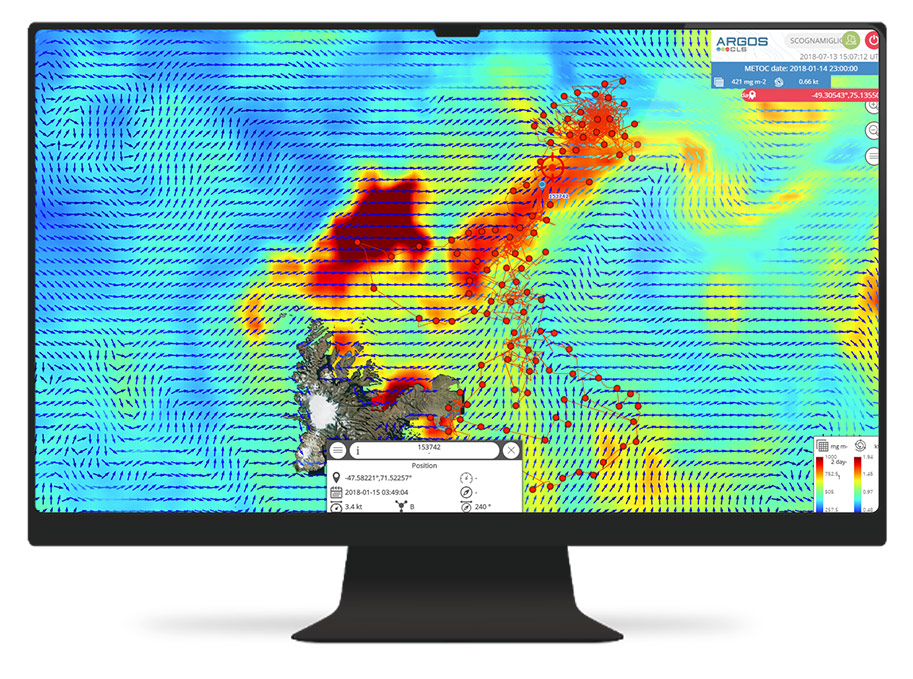
Elephant seal track and primary production.
Courtesy of Clive Mc Mahon, IMOS Animal Tagging at the Sydney Institute of Marine Science and Christophe Guinet, CEBC, MUR 7372 CNRS-ULR and SNO-MEMO

Support and Help


How to use this service

  • Synchronize the environmental parameters together with your Argos tracks
  • Animate the movement of your animal
  • Download all the data you want here


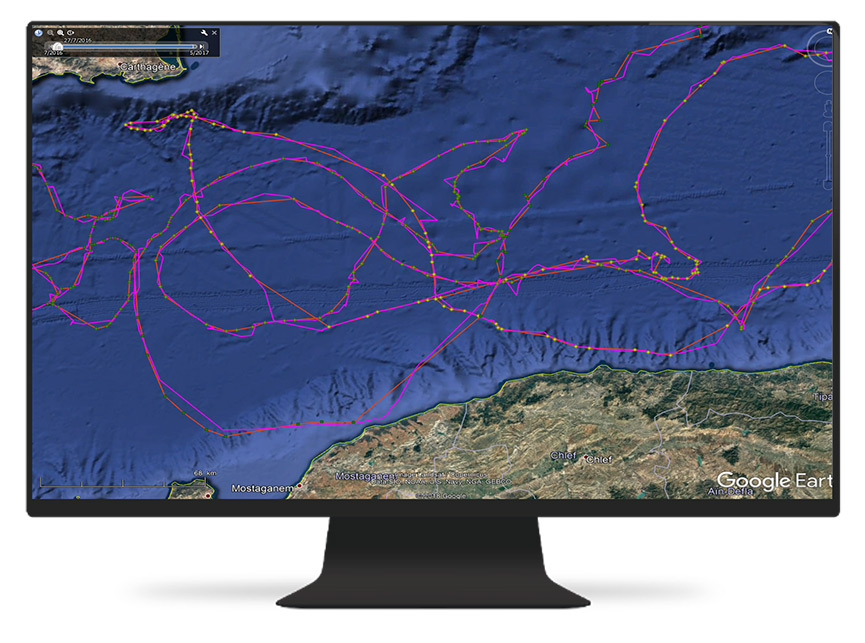
A drifting buoy is following a surface current vein around an oceanographic anticyclonic eddy (maps of sea level anomaly: colour and surface current: arrows)
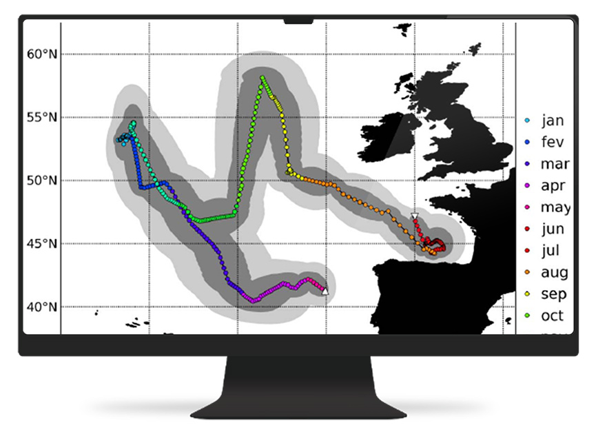
A turtle starts swimming northwards using the surface current towards a rich area of primary productivity (in yellow)
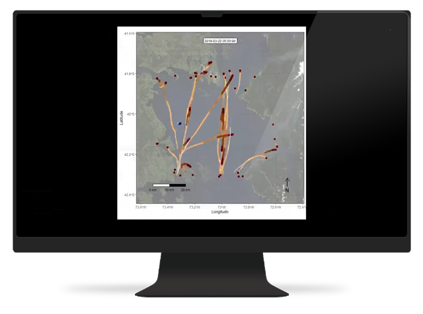
A whale is entering an area of high productivity


Data available

  • Sea surface temperature
  • Phytoplankton
  • Primary productivity
  • Surface current
  • Surface wind
  • Clouds
  • Ice Cover
  • Air Temperature (10m)
  • Sea Level Anomaly

Full CLS Product Catalogue Description on https://datastore.cls.fr/

The track of a raptor migrating from Middle-East to North, together with air temperature and wind. You can synchronize your track with the temperature and wind maps, courtesy of Prof. Bernd Meyburg


Video tutorial and presentation of service


Support and Help


✉ For any information, question or comments: contact us