Advanced processing service
Reprocess and enrich Argos tracks with contextual environmental & vessel traffic data
Are you a frequent Argos user?
Do you have historical Argos data you want to valorize in publications?
Reprocess your Argos tracks
- Exploit your rich historical Argos database to reanalyze the behavior of your tagged animals
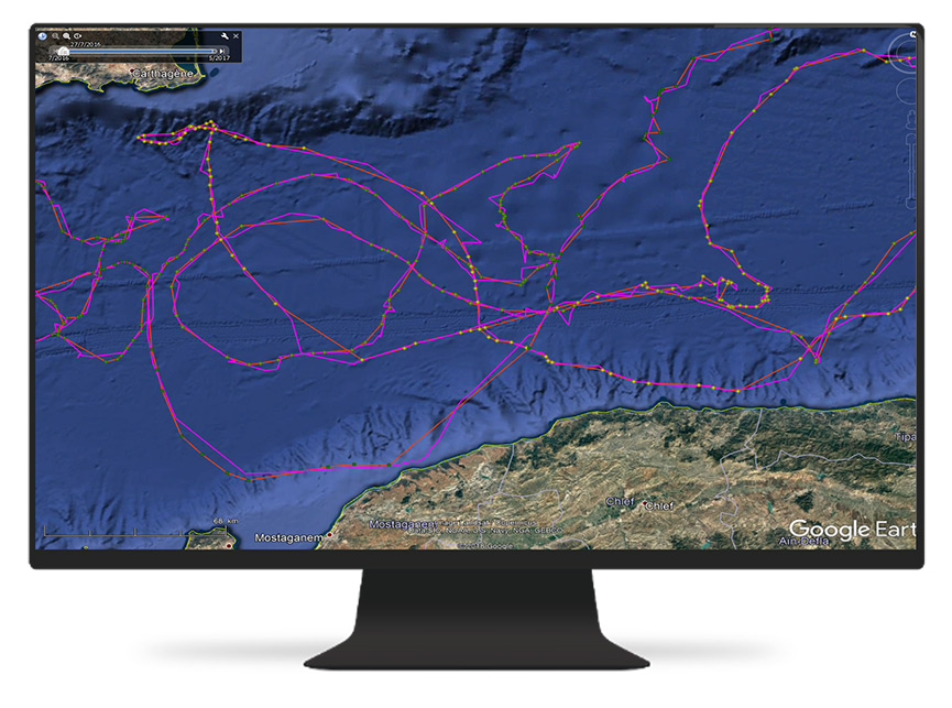
- Improve all your Argos trajectories by applying a Kalman smoother filter
- Retrieve your data in csv and kml formats
Reprocessing a Mediterranean loggerhead turtle’s track : Comparison between GPS track (red), as the reference, real time (RT) Argos track (green) and reprocessed Argos track with Kalman smoother ( purple), courtesy of David March, SOCIB


Extract oceanographic data
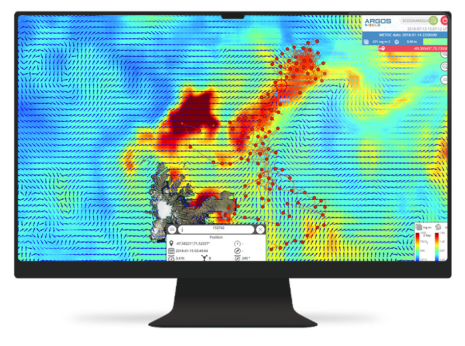
- Make a link with your animal’s behavior and its physical & biochemical environment
- Benefit from CLS’ 20 years of experience in satellite oceanographic data processing
- Be connected to the highest quality ocean & atmospheric models data servers in the world
- Download all the data you want here
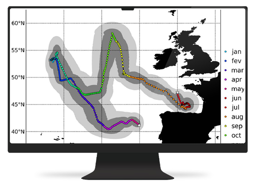
Sea level map together with a leatherback turtle’s Argos track (top) and associated time series (bottom) of surface temperature, current, primary productivity along the turtle’s track, courtesy of Y. Le Maho, CEPE/CNRS
Vessel traffic monitoring
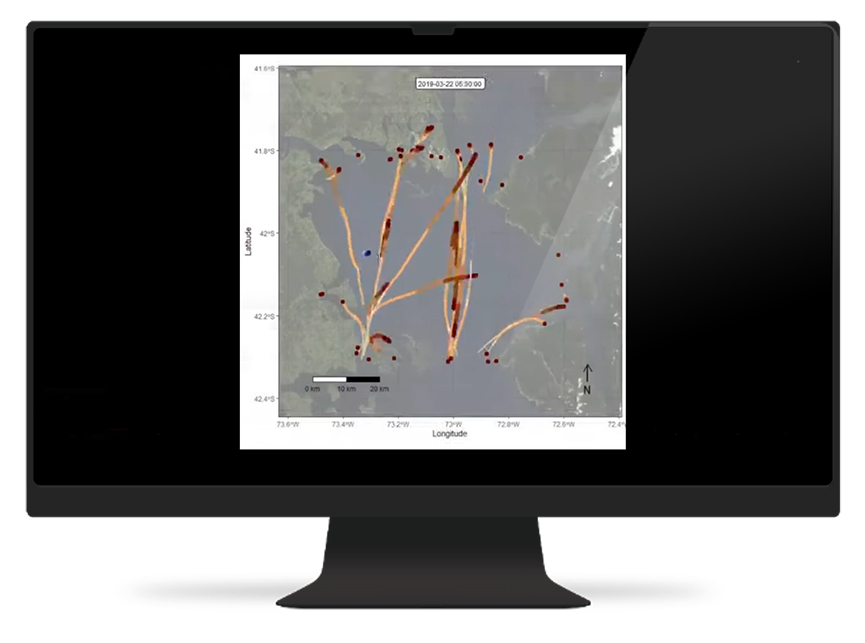
- Visualize and analyze the vessel traffic along your Argos tracks to see the traffic crossing areas of your animals
- Extract the AIS data along your animal track to process this information yourself
A Mediterranean turtle (red track) is crossing an intensive maritime traffic area (arrows and green circles)