← Back
Conservation priority areas for the Andean condor

Satellite telemetry enables to identify preferred habitats of the Andean condor, depending on their functions. Conservation priority areas for this scavenger bird can thus be better determined.
The Andean condor (Vultur gryphus) is emblematic of the region and an important cultural symbol. However, as most scavenger birds in the world, it is threatened. As its californian cousin (see Argos key tool for monitoring the reintroduction of California condors), accidental poisoning is one of the main threats, but also decrease of the number of carrions — and also misconception. It is the largest terrestrial flying bird, with extensive home ranges, using different habitats for different uses and thus spanning a wide range of environmental conditions and human boundaries. This complexify its protection, as the usual approach of nationally limited protected area is insufficient.
Identify preferred habitats of the Andean condors
Thus the idea of identifying the habitats and their functional value – high mountains used for their thermal uplifts, open habitats with numerous grazing animals to feed, and cliffs to nest and roost.
Thirty-five individual adult condors were tracked in two regions of Argentina and Chile, some with Argos/GPS PTT tags. The regions differ in topography and vegetation.
The detected locations were assigned to one of three behaviors: roosting, foraging, and flying, following different clues depending on the time, velocities etc. The condors were assumed roosting when at night and not moving. Foraging occurring mostly at midday in open areas, this behavior was linked to locations 5 to 8 hours after sunrise, again not moving, and away from the previous ones. Flying was assigned when three consecutive daytime locations were detected with velocity higher than 3 m/s at 1-hour intervals.
More info about birds tracking
Conservation priority area determination
The different behaviors were then compared to landscape data (relief, vegetation), to infer a model of spatial prioritization. The results of the model show areas of foraging and roosting are different. Further, the prioritization map helps to evidence a mismatch between the areas used by the Andean condor and currently protected areas in southern South America. The conservation should focus on areas of high probability of use for foraging, while protected areas are mostly in roosting and flying areas. The model should then help future planning efforts to protect this ecologically important species.
Reference and links
- Paula L. Perrig, Sergio A. Lambertucci, Jennyffer Cruz, Pablo A.E. Alarcón, Pablo I. Plaza, Arthur D. Middleton, Guillermo Blanco, José A. Sánchez-Zapata, José A. Donázar, Jonathan N. Pauli, 2020: Identifying conservation priority areas for the Andean condor in southern South America, Biological Conservation, Volume 243, March 2020, 108494, https://doi.org/10.1016/j.biocon.2020.108494
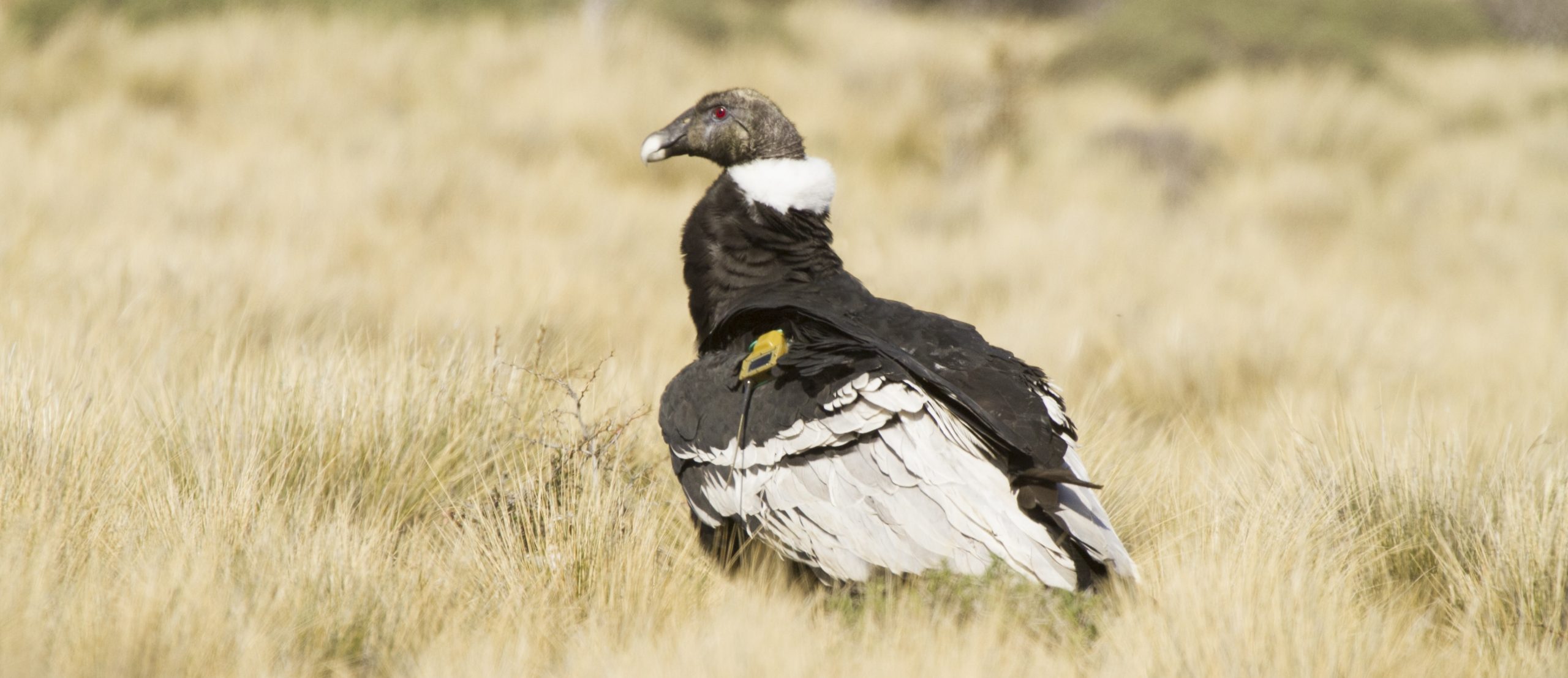
Photo: An Andean condor with an Argos GPS PTT (credit Gonzalo O. Ignazi)

