← Back
Argos helps to define a protected area for elephants in Cameroon

African elephants are under assault due primarily to the illicit ivory trade and, to a lesser extent, to habitat destruction and human incursions. Numbers are plummeting throughout most range states. Understanding elephant movement patterns, home ranges, land use patterns and corridor use are essential in developing conservation strategies.
More info about land animals tracking
The North Carolina Zoo, in partnership with the Cameroon Country Program Office of WWF and the Cameroonian Ministry of Forests and Wildlife, has since 1998 employed satellite tracking of african elephants (Loxodonta) using Argos PPTs to produce data for conservation. These data have been used for numerous purposes, including mitigating human/elephant conflict, improving anti-poaching efficacy, evaluating habitat restoration efforts and developing an understanding of how elephants utilize their habitat in relationship to man-made and natural features. Perhaps most importantly, these data have also been used to help define new protected areas.
Mount Cameroon is an active volcano that rises to 4000 meters from the Gulf of Guinea on Cameroon’s western coast. It is heavily forested up to approximately 2000 meters and is home to several endemic plant and animal species, as well as to several large mammal species, including forest elephants and chimpanzees.
The lower slopes of Mount Cameroon are surrounded by commercial agriculture and small villages. Between 100 and 200 elephants are thought to inhabit Mount Cameroon. Due to the biological importance of the area, the government of Cameroon began the process of establishing a national park on Mount Cameroon.
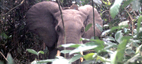
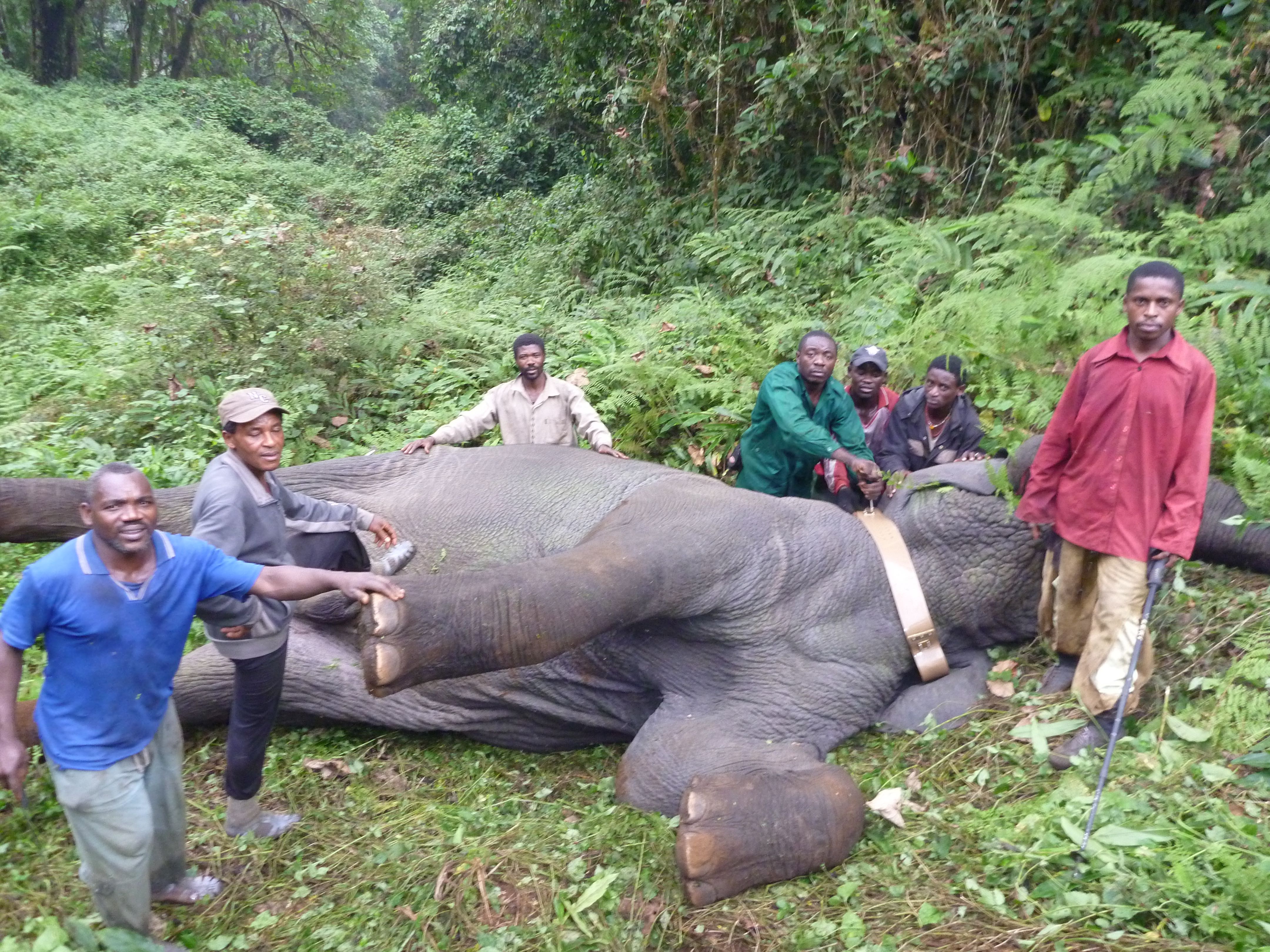
The forest elephant is the iconic animal species found there. The elephants on Mount Cameroon are difficult to study due to the rugged terrain and heavy forests on much of the mountain. Fitting elephants with satellite telemetry collars proved to be the best way to monitor their locations and, subsequently, to determine their home ranges and land use patterns within the proposed national park.

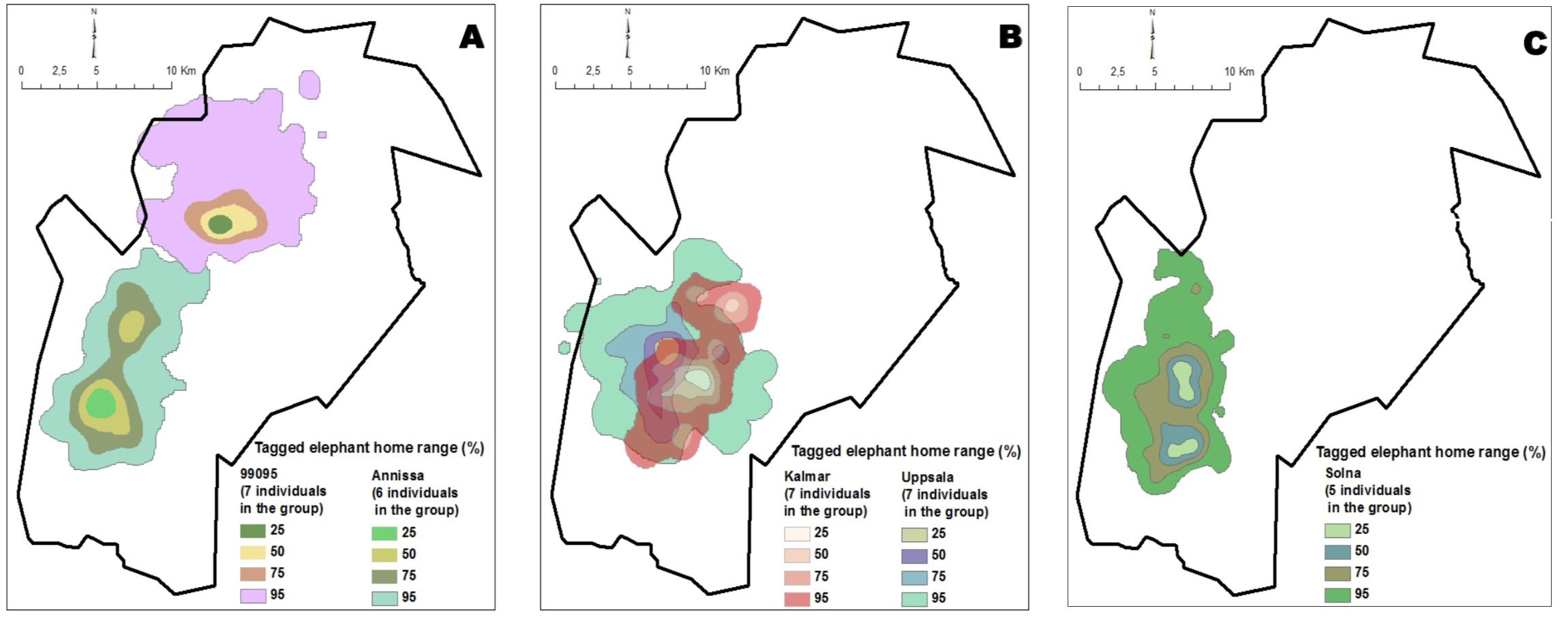
Kernel home ranges (percentage of presence within the area) of the five elephants collared on Mount Cameroon — one individual was equipped by herd (Credits WWF-Cameroon Country Program Office)
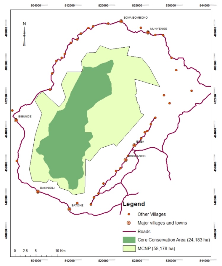
Recently, home range data from the collared elephants were used in developing the land use plan for the newly established Mount Cameroon National Park. Kernel home ranges were calculated from location data points derived from five collared elephants representing five herds. The 75% kernel for the five elephants was overlaid on a map of the proposed boundaries of the national park. These data, plus some additional animal survey data, were used to define the core conservation area of the national park.
Links & References
Nku, EM. 2014. Proposed core protection zone and ecotourism potentials for Mount Cameroon National Park. PSMNR-SWR and WWF-CFP, Limbe, Cameroon.
Photo: Forest elephant after attachment of PTT (Credits Michael R Loomis)


