About Argos Services
Argos services provide smart environment solutions through the use of cutting edge technology.
Argos: Value-Added Services
Argos services, powered by CLS, uses Kinéis’ global connectivity as well as Earth Observation data, modeling and Artificial Intelligence to provide adaptable smart environment solutions.
These value added services provide the means for scientists to enhance the understanding of our environment and help industries and administrations comply with environmental protection regulations as well as face the growing challenges of effective water ressource management and food security.
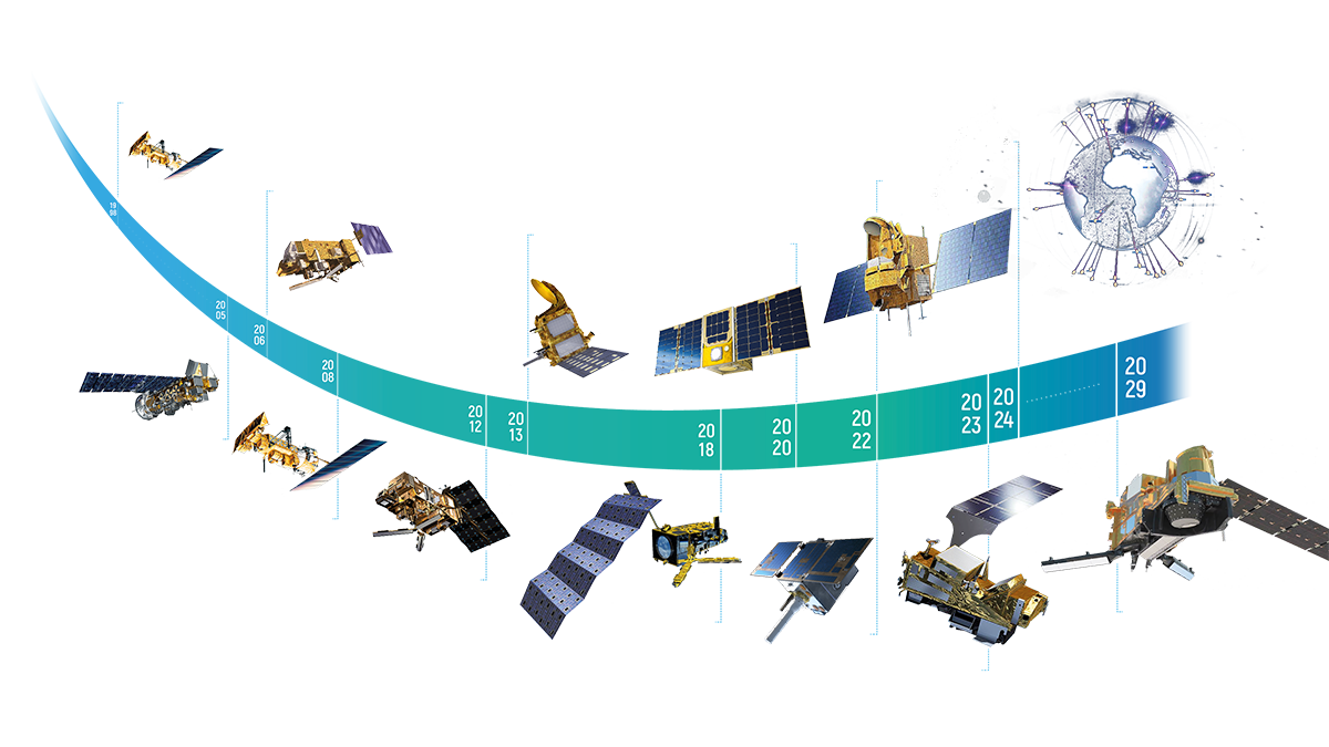
Learn more about Argos History
9
Satellites
8,000+
animal tracked each month
3,000,000
Argos messages per day
45+
years of expertise
Discover our Solutions
Wildlife Monitoring
Smart Agriculture
Herd Management
Pollution
Oceanography, Meteorology, Hydrology & Glaciology
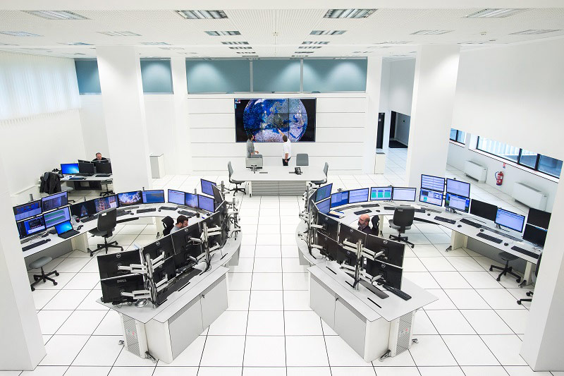
CLS, provider of Argos services for scientific and environmental applications since 1986
CLS (Collecte Localisation satellite) develops state-of-the-art processing tools and services for distributing high value-added data to Argos users.
In addition, CLS renowned user services are available around the world, to serve Argos users in their language and their time zone. CLS is available to help Argos users from before they open their program and on a day-to-day basis once their program is operational.
More info about CLS
Argos Today & Tomorrow
As historical operator of the system, CLS works in close collaboration with its Space IoT partner, Kinéis, and remains a dedicated Value-Added Reseller (VAR) for a variety of applications dedicated to understanding and preserving the environment, biodiversity and life.
In 2024, Kinéis will launch 25 nanosatellites on 5 different orbits thereby upgrading the system and offering users unprecedented capabilities:
- Capacity to connect 2 million transmitters
- Optimized reception quality enabling trackers to be smaller and consume less energy
- 15-minute revisit time
- Two-way capabilities
Hardware such chipsets and low power transmitter modules means devices are ready to use Argos services.
How does Argos work?
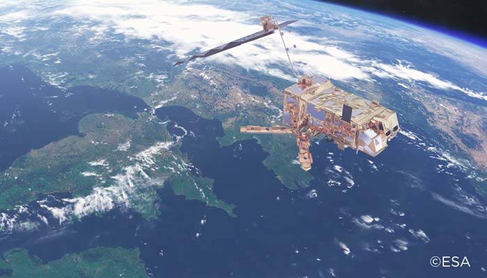
Polar orbiting satellites collect data by picking up the signals from platforms integrating Argos-certifed transmitters.
These signals, or messages are stored onboard the satellites and transmitted to dedicated recieving stations.
The network pf ground stations forwards the messages to an operations center, where it is processed, stored and automatically delivered to users through a web interface, API or even directly via email.
Learn more about how does Argos work
Argos Partners
Begin with Argos
CLS teams experts in environmental monitoring from space are at your disposal to connect any of your projects.

