Oceanography, Meteorology, Hydrology, Glaciology
90+
in-house oceanographers
3
redundant data centers
Expert
support
Global
& real-time solutions
Dedicated Services for Observing and Protecting the Earth Environment
Marine & environmental scientists rely more than ever on satellite systems to collect in-situ data to increase knowledge and protection of the ocean and ocean-atmosphere exchanges.
Available Argos modems connect new technology quickly and easily and offer data services for a broad spectrum of applications.
Oceanography
Meteorology
Hydrology
Glaciology


Latest News
Meet us at Oceanology International 2026
We’re pleased to announce our presence at Oceanology International, the global meeting point for the ocean science and technology community. At the conference, our experts will be available to...
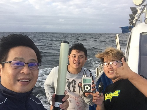
3 Top Tips for Using Your Goniometer
Since 2016, the Argos team has continued to deepen its expertise in all things Goniometer, building on years of experience in sales, marketing, and underwater technology, including close...
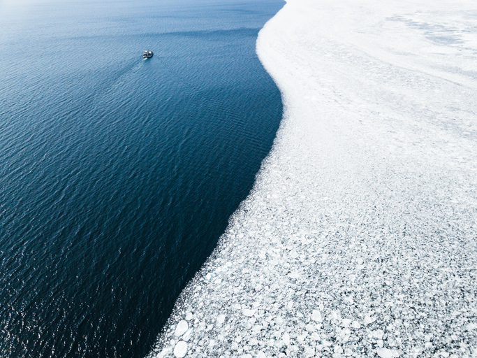
Rethinking Ice Research with Wooden Buoys
In partnership with the renowned Wooden Boat Centre in Tasmania, CLS, via our subsidiary CLS Oceania, is pioneering a new generation of oceanographic drifting buoys made from wood. Why wood? It's...

Begin with Argos
CLS teams experts in environmental monitoring from space are at your disposal to connect any of your projects.