How can Argos help me?
As an established global satellite system, Argos has a wide variety of existing products and services as well as the capacity to connect new innovations.


45 Years of Experience
Originally the product of an international cooperation spanning 45 years, the Argos system will benefit from an additional 25 nanosatellites in 2024 that will offer unprecedented capabilities.

Capabilities to connect millions of objects

Global coverage

Near real-time connectivity

Low-power consumption

Two-way communication
Miniaturization
Jump into reality
CLS teams experts in environmental monitoring from space are at your disposal to connect any of your projects.
Argos IoT Smart Environment Solutions
Wildlife
Monitoring
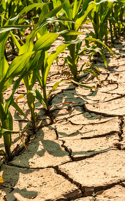
Smart Agriculture
Herd Management
Pollution
Oceanography
Meteorology
Hydrology
Glaciology
Begin with Argos
CLS teams experts in environmental monitoring from space are at your disposal to connect any of your projects.